Discover the Exercise Scan
Research and development
A collaboration for an applied research project was set up with the cities of Bruges and Kortrijk early 2018. The aim of the project was to gather objective data that could be used to map the activities of a city, and subsequently work out intersectoral policies including an integrated action plan and clear objectives.
In cooperation with data miners from Bruges and Kortrijk, we explored the possibilities for linking up specific data and gathering insights on opportunities to get more people exercising in the public space.
Together with our partner Bits of Love (information technology and services: www.bitsoflove.be), we developed an instrument to map the local exercise behaviour of people in a more accurate, effective, efficient, and rapid manner (at the neighbourhood or district level), and to quantify and analyse this behaviour in the light of past or future policy measures. This enables every city/municipality to plot their own evidence-informed and knowledge-driven sport and exercise policies.
The Exercise Scan as a field tool
The Exercise Scan was developed using scientific reference frameworks that demonstrate the influence of both social and physical environments on the exercising habits of an individual.
(Public) data regarding physical features of the city, data on citizens’ exercising habits, information from participation processes, and environmental analyses are combined into a unique approach that looks at how multiple determinants have a district-specific impact on inhabitants’ exercising habits.
The Exercise Scan uses a combination of about 125 indicators to determine the activities of a city/neighbourhood on three different levels:
- +/- 50 macro-level indicators: the city or municipality
- +/- 45 meso-level indicators: the neighbourhood or district
- +/-30 micro-level indicators, with relevance for specific target populations, e.g. children (ages 0-12), adolescents (ages 13-18), and senior citizens (aged 65+)
For the Exercise Scan, we selected 32 indicators from the Municipality/City Monitor 2021 and organised them under 7 ambitions for municipalities to strive toward in order to stimulate and facilitate exercise, sport, play, and socialisation using a scientific foundation:
- Active exercise and mobility for all
- A connected town centre
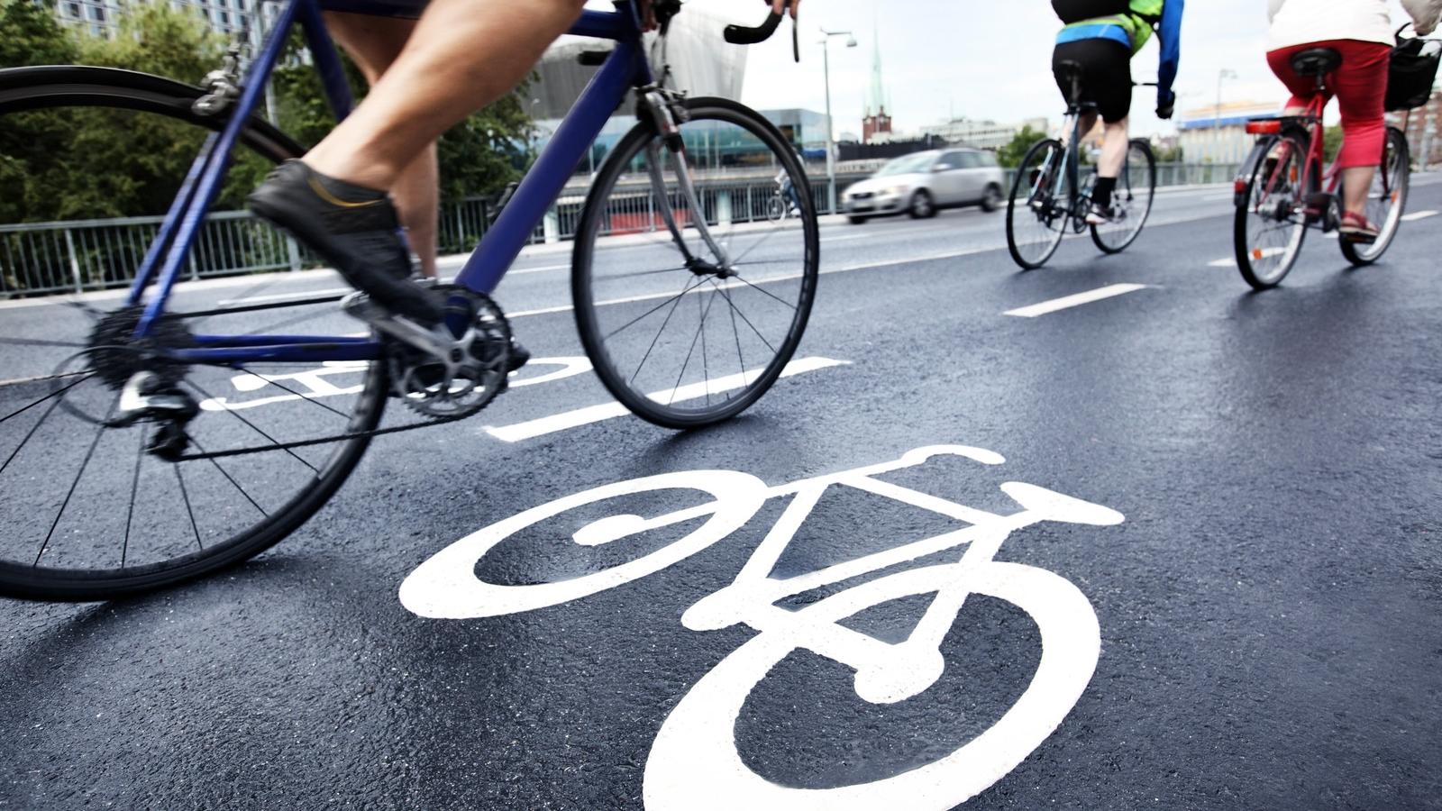
- Attractive and safe walking and cycling routes
- The town as a sportsground
- The town as a playground
- The town as a meeting place
- Useful, varied, and sufficient green spaces
For each of these ambitions we note:
- The current situation in the examined municipalities.
- What challenges you can expect as an administration.
- The benefits of tackling this challenge based on scientific knowledge
- The solutions or options available to put in place.
- The tools available for an analysis of the area or for involving the target population.
- Best practices from other Flemish municipalities that can be used as inspiration.
Principles used to select indicators:
- The basic premise: an environment scanner for each municipality/city with the ultimate goal of creating an active city/municipality or neighbourhood.
- A workable, manageable set of indicators.
- Focus on environmental indicators that can be actively managed by local policy and urban planning.
Differentiation between:
- Interpretable indicators for which datasets/figures exist (such as index data), and data that are periodically gathered on a city/municipality level (such as the municipality and city monitor, citizen surveys, and environmental analyses).
- Indicators that can be discovered through studies (such as citizen surveys, environment analyses, etc.).
- Scientifically validated indicators that have a demonstrated relationship with exercise in public space.
- Indicators which have been shown to be relevant in practice.
The scan sketches an integral image of various environmental indicators that affect activities. In addition, we select and monitor specific indicators for each project to provide an answer to the concrete questions/challenges that a city or municipality faces, as well as the envisioned resources.
The Vital Cities Exercise Scan does not use fixed standards and norms. What is sufficient and good can vary from one city or neighbourhood to another. It all depends on the neighbourhood’s layout and the wishes and needs of neighbours. A district that is home to many families with young children, for example, requires a different approach than a district with many elderly people. Therefore, joint conversations are vital for deciding what is going well and what could be improved.
Use of the Vital Cities Exercise Scan:
Depending on the objective several options are available:
- Checklist: the scan can be a straightforward checklist for monitoring and/or starting a dialogue with the actors involved in order to explore areas where the sports and exercise environment could be improved. For example: as an input resource for a policy paper or neighbourhood development plan, among others.
- Research tool: the scan can be a research instrument that pools various data sources: public data, data sourced from surveys and participation research among residents, technological data, and so on. This clearly highlights which environment aspects are agreed upon, and where disagreement still exists. It also demonstrates themes that can be improved.
- Communication tool: the scan can be an instrument to pool policy actions related to priorities for the exercise and sports environment, as well as a tool for frequent communication and reporting.
The data-supported Exercise Scan can be used as the foundation of a broader strategic plan for the creation of innovative and broadly supported policies at the city or municipality levels in fields such as exercise, health, and wellbeing. In the second stage, it can also function a tool for creating specific and tailored interventions.